 Mt-Baker.com
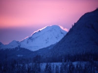
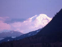
The Mt. Baker Scenic Highway, State Route 542, begins in Bellingham, WA. at Exit 255 on
Interstate 5 (Milepost 0), and travels in an easterly direction towards Mt Baker. The Cascade foothills are approached near Deming, and the route then generally follows
the North Fork Nooksack River valley to Milepost 46, where it crosses the river and begins a steeper climb to the Mt. Baker Recreation area, ending at
Artist Point, Milepost 58, Elevation 5,080 feet.
A map depicting Highway 542 from Mile Post 0 to its terminus at Artist Point is shown below followed by a table referencing selected mile post markers with a brief description and nearby photos.
Find Mt Baker Weather and Mt Baker Highway Road Report links at Mt Baker Weather,Road,and Snow Reports
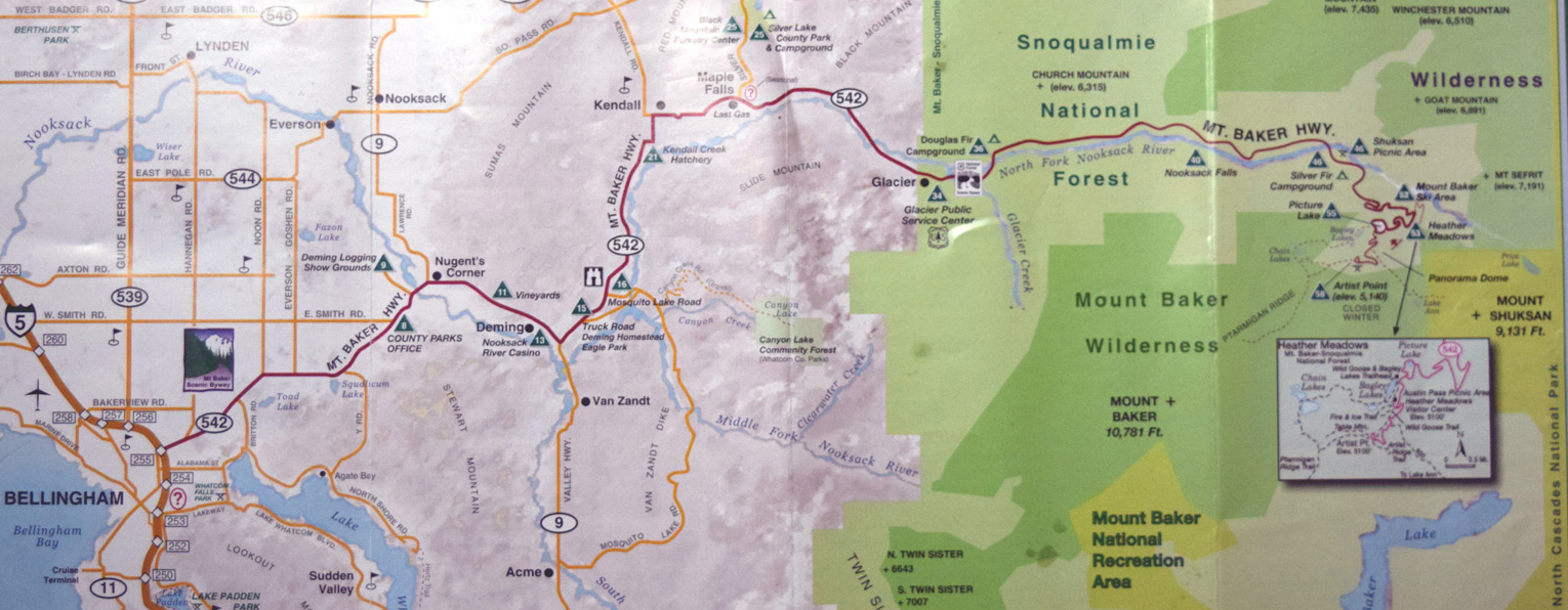
Mt Baker Highway Map Milepost 0 to Artist Point Milepost 58 above.
Mile Post |
MP Photo |
Location Description or Comment |
| MP 0 |
|
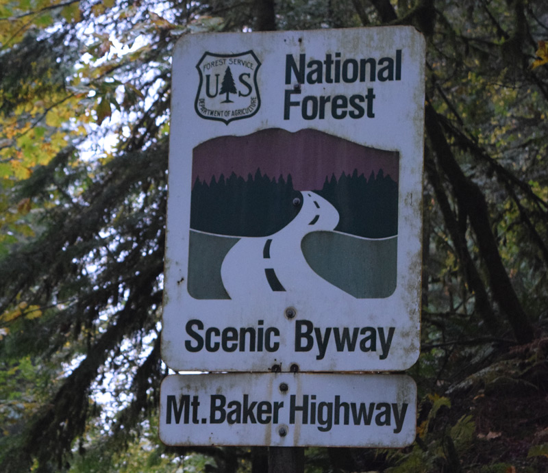
Mt. Baker Highway (542) Begins at I-5 Intersection in North Bellingham and ends at Artists Point (MP 54). |
| MP 10 |
|
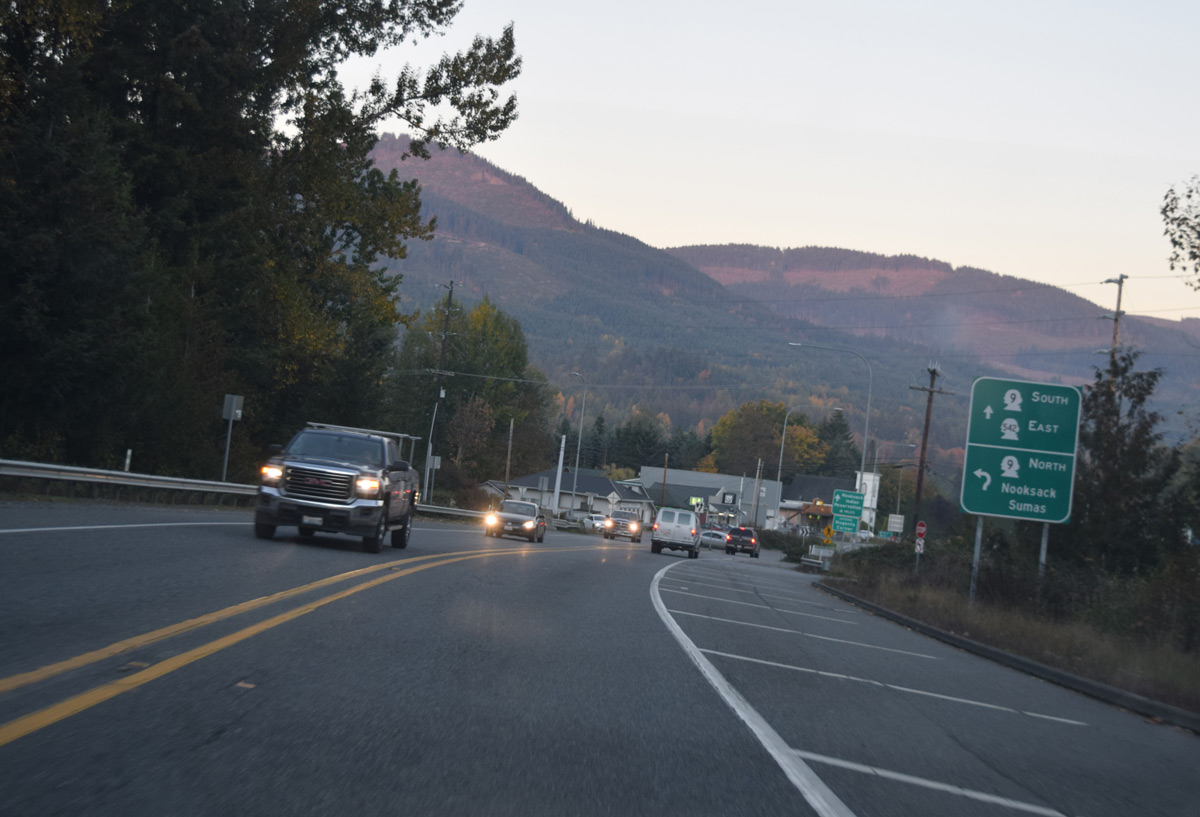
Nooksack River, Nugents Corner. Jct. Hwy. 9 North. |
| MP 13.5 |
|
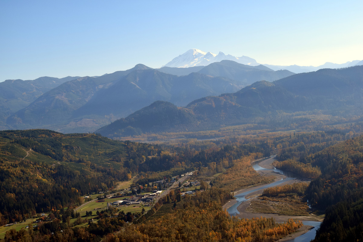
Deming, Deming Post Office; Public Library |
| MP 14 |
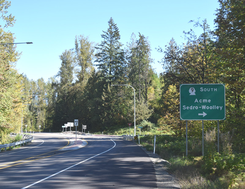
|
Jct. Highway 9 South: Turn south, to Forks of Nooksack River and travel on to Acme, Sedro Woolley and Hwy 20. |
| MP 16.9 |
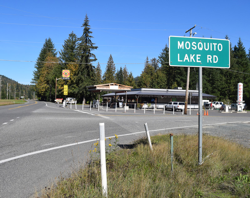
|
Welcome: Jct. Mosquito Lake Rd. Turn southeast to reach North Fork Nooksack River. |
| MP 23 |
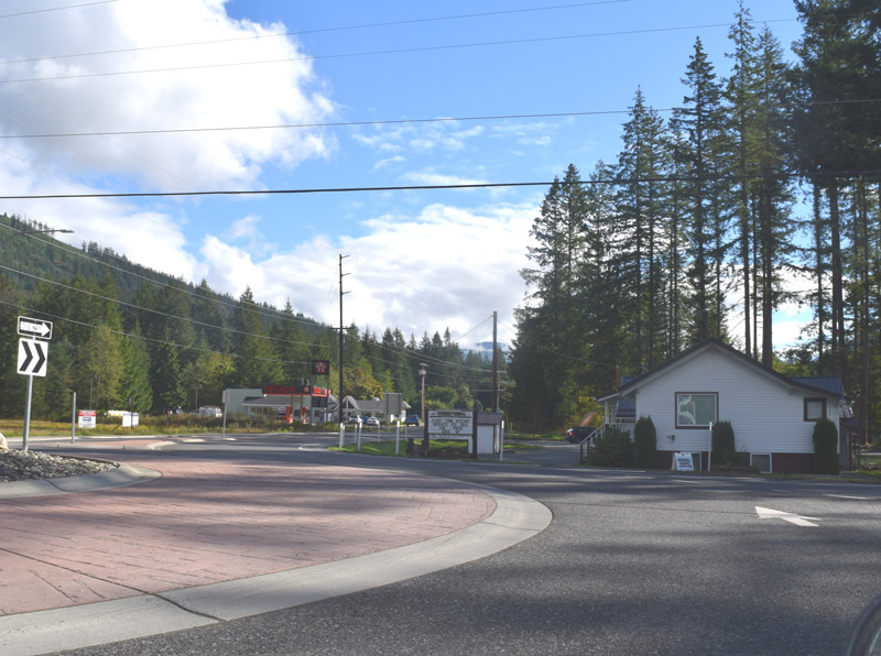
|
Kendall Corner: Kendall School, Jct. Hwy 547. Turn north to Sumas and Canadian Border crossing. |
| MP 25.8 |
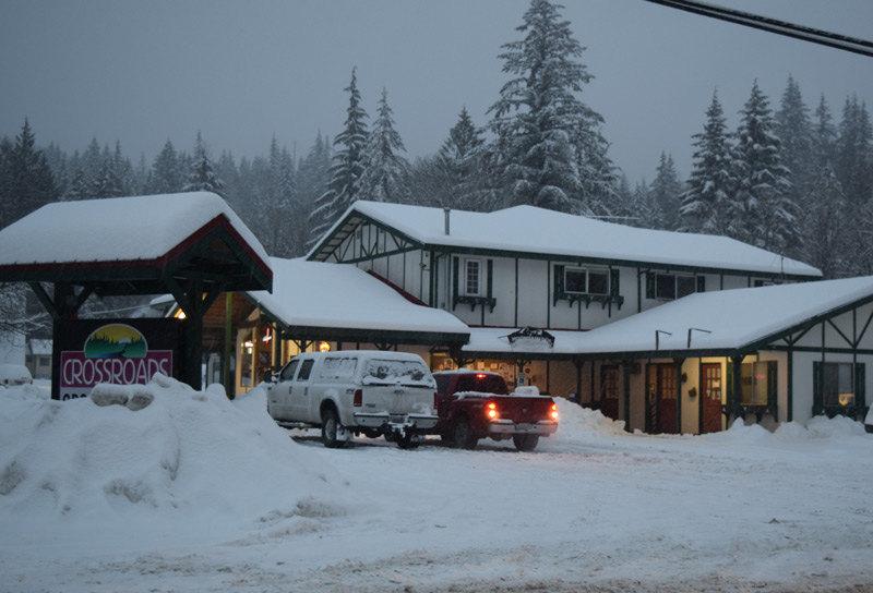
|
Town of Maple Falls. Maple Falls Post Office, Public Service Center, Jct. Silver Lake Road and Silver Lake Park. |
| MP 27.4 |
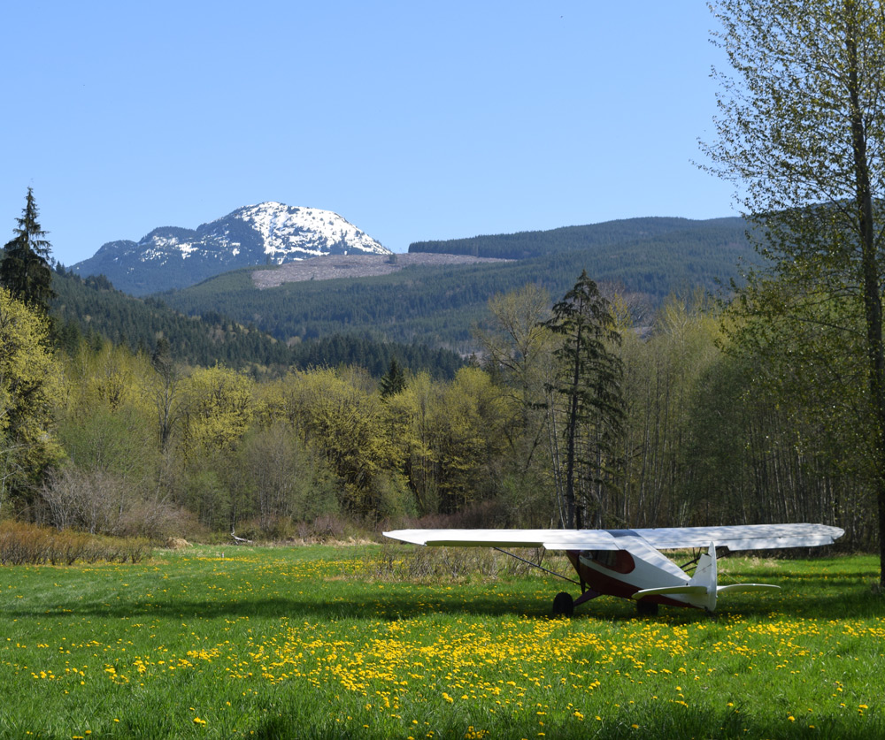
| Mt Baker Airfield Fly-In Lodging and Camping, Aerial Imaging. Private, call for information and use. |
| MP 27.5 |
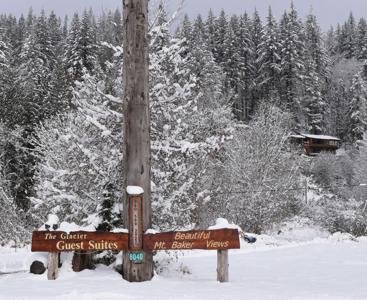
| Glacier Guest Suites Mt. Baker view lodging entry. |
| MP 28.3 |
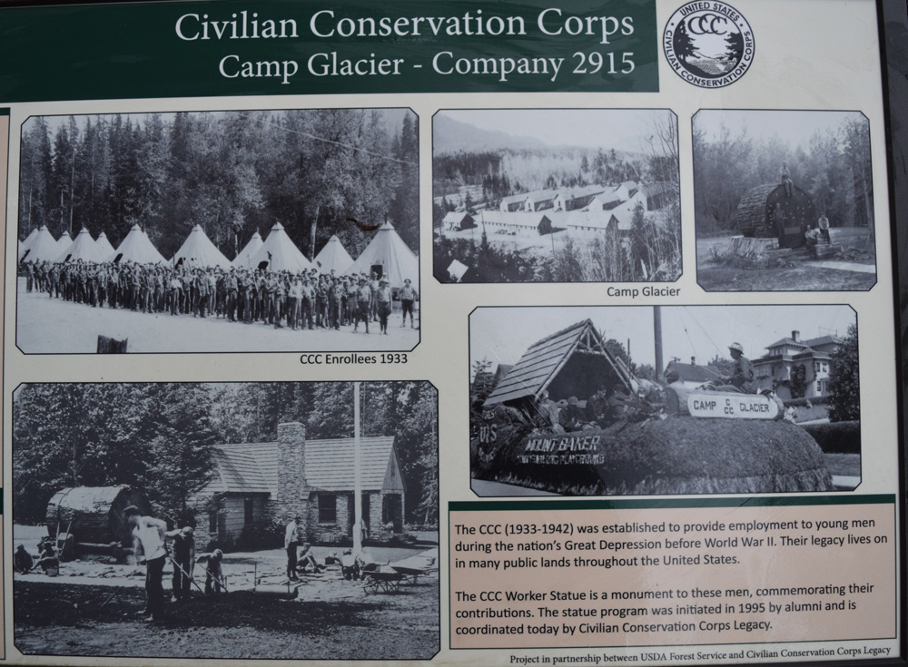
| Historic site of U.S.Conservation Corps Camp. |
| MP 30.9 |
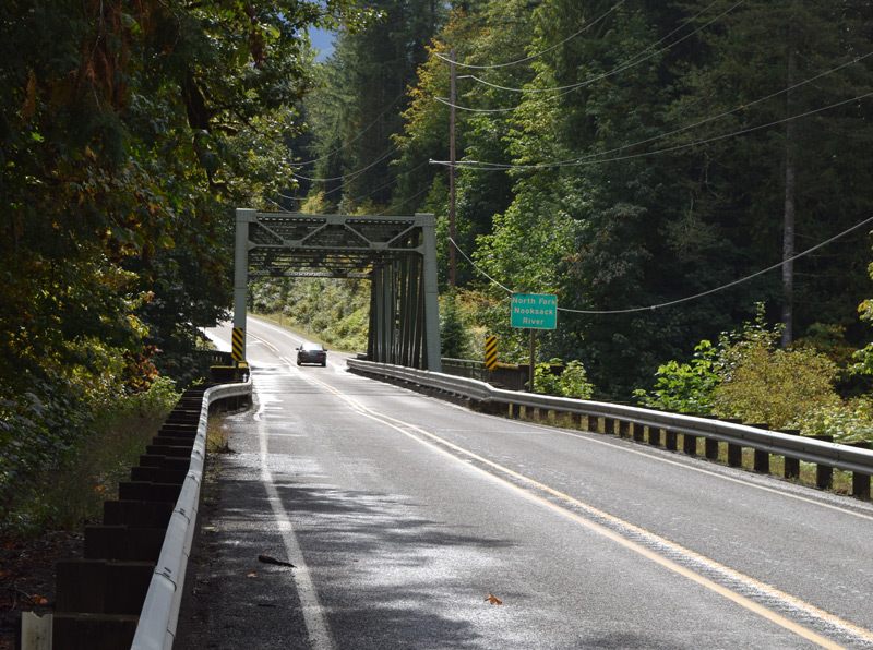
|
Hwy 542 crosses N.F. Nooksack River. |
| MP 33 |
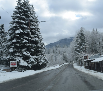
|
Town of Glacier EL:935': Glacier Post Office, public library, grocery, restaurants, ski shop, realtor. |
| MP 33.8 |
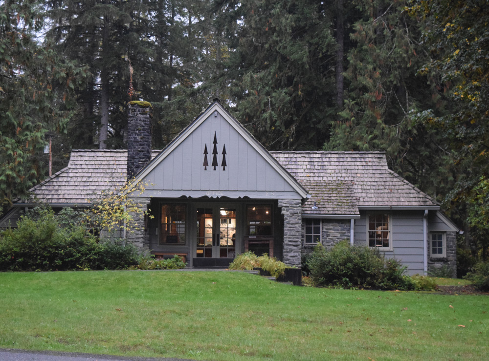
|
U.S. Forest Service Ranger Station, public information center. |
| MP 34.4 |
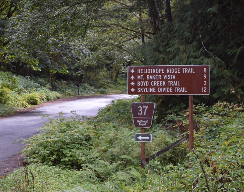
|
Jct. Glacier Creek R, Deadhorse Creek Rd, travel south to Mt. Baker viewpoints and trails. |
| MP 35 |
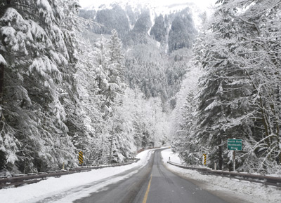
|
Nooksack River Bridge and Forest Service campground. |
| MP 40.7 |
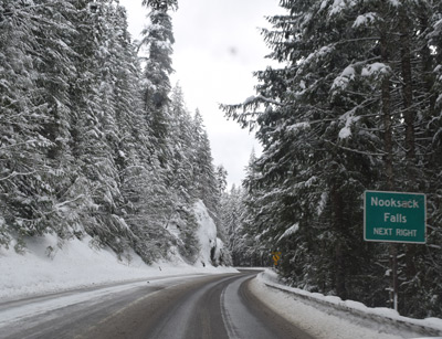
|
Jct. Wells Creek Rd., Nooksack Falls. |
| MP 43.8 |
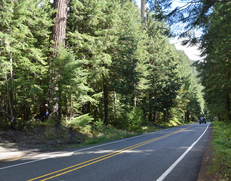
|
Old Growth Douglas Fir Natural Reserve. |
| MP 46.2 |
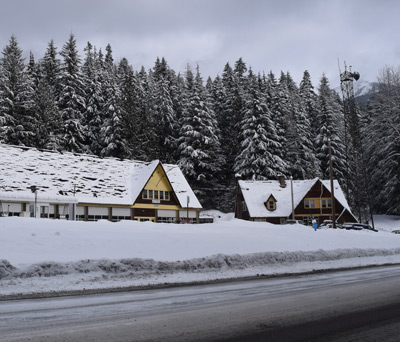
|
WA State Highways camp, Twin Lakes Rd to the north. |
| MP 46.3 |
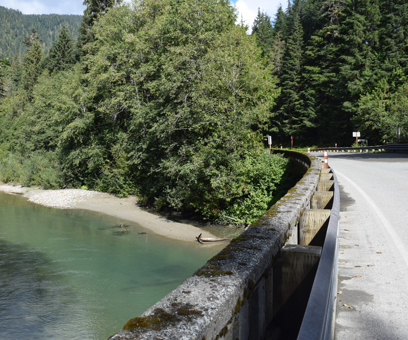
|
Hanegan Pass Road, Nooksack River crossing, campground across bridge. |
| MP 52 |
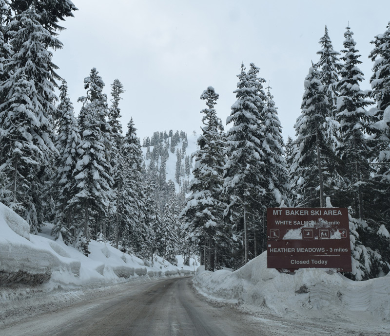
|
Mt. Baker Ski Area White Salmon Lodge Entry. |
| MP 52.3 |
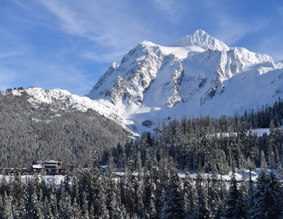
|
Mt. Shuksan and Ski Lodge viewpoint. |
| MP 55 |
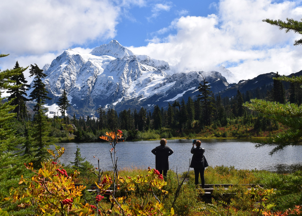
|
Heather Meadows, Picture Lake, and Mt. Shuksan- what a view! |
| MP 55.4 |
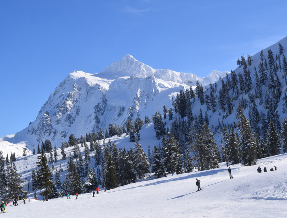
|
Mt. Baker ski area upper lodge area. |
| MP 56 |
|
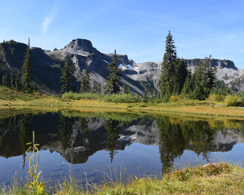
US Forest Service Austin Pass picnic area and Table Mountain Viewpoint. |
| MP 58 |
|
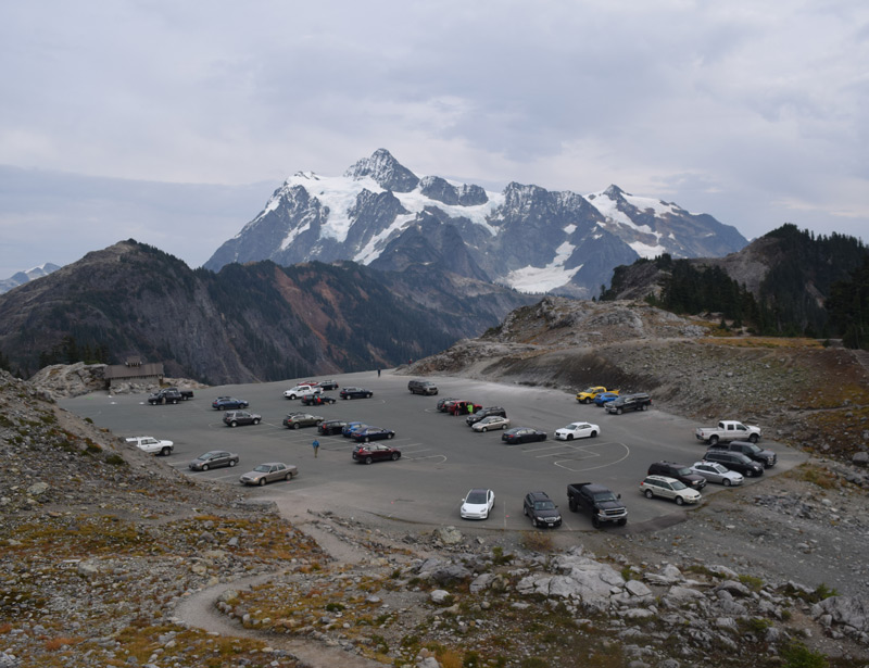
Artists Point Elevation 5,140 ft. End of Highway. Fantastic alpine views. |
| Home Page |
Lodging Rates and Reservations |
Lodging Reviews |
Lodging Locations |
E-mail Us |
Mt Baker Area Weather Reports |
Mt Baker Area Recreation |
Mt Baker Gallery |