 Mt-Baker.com

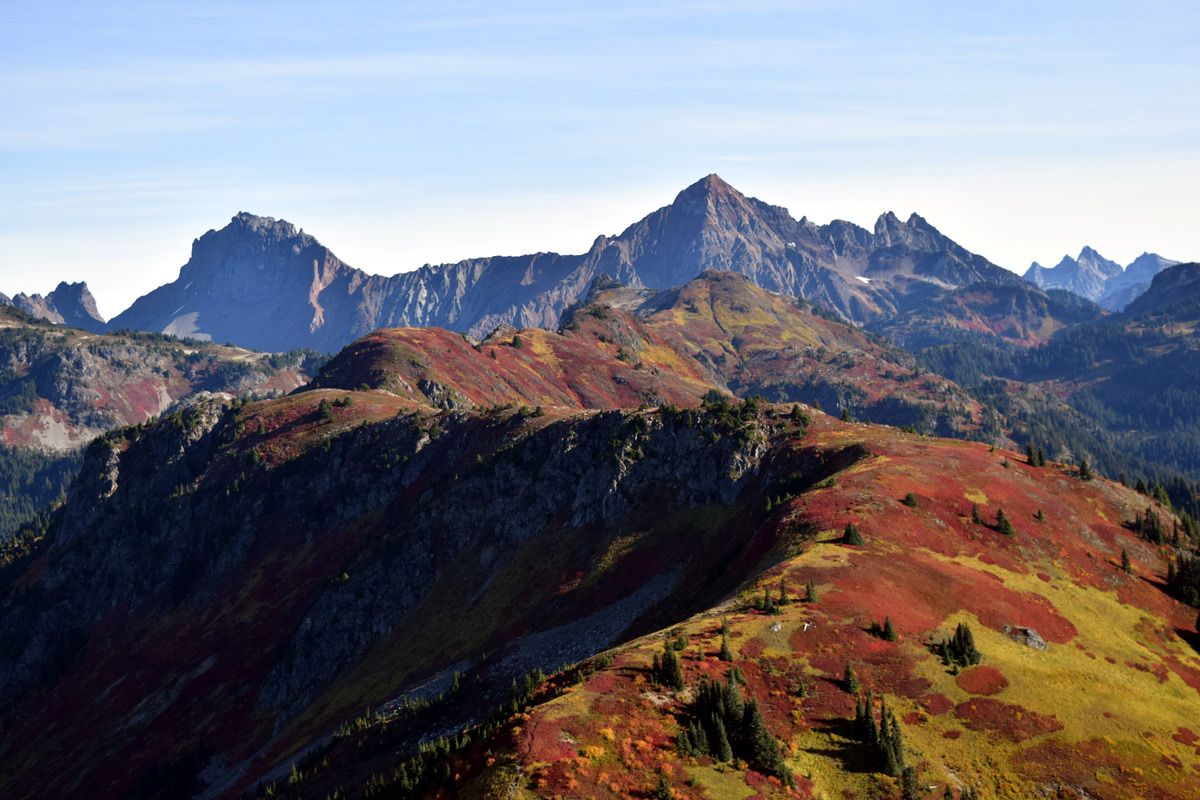
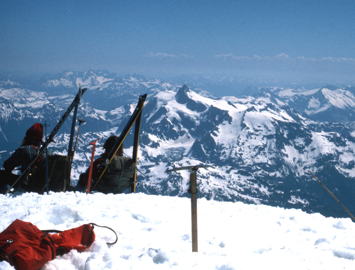
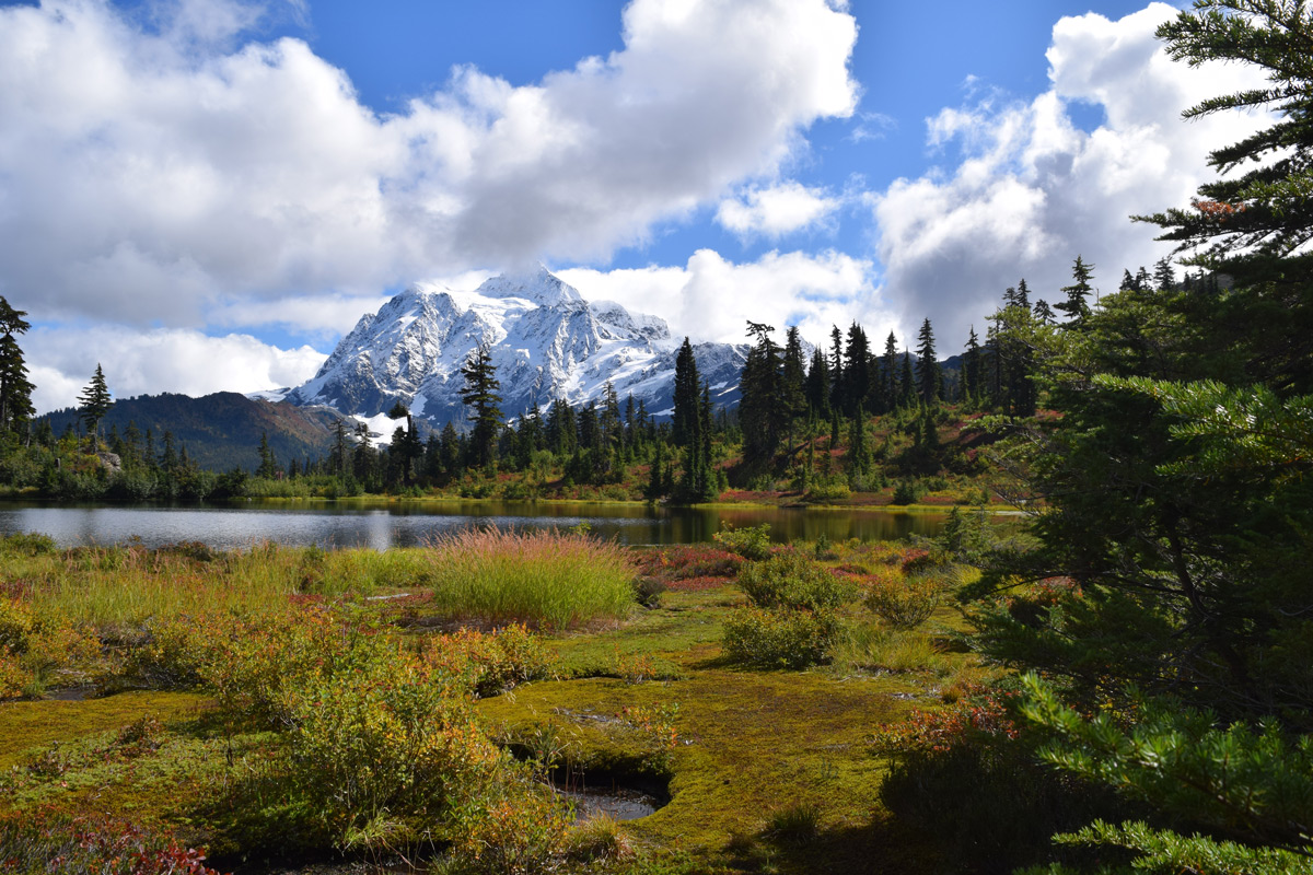

The Mt Baker Highway, which follows the North Fork Nooksack River
Valley in Eastern Whatcom County, provides access to some of the most scenic areas in all the United States.
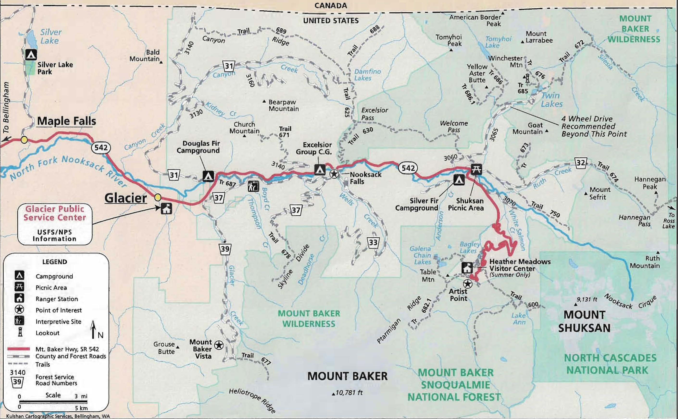
A map of the highway from milepost 25 to its end at Artist Point is provided below.
From the highway hundreds of miles of back country roads and trails provide access into this beautiful country.
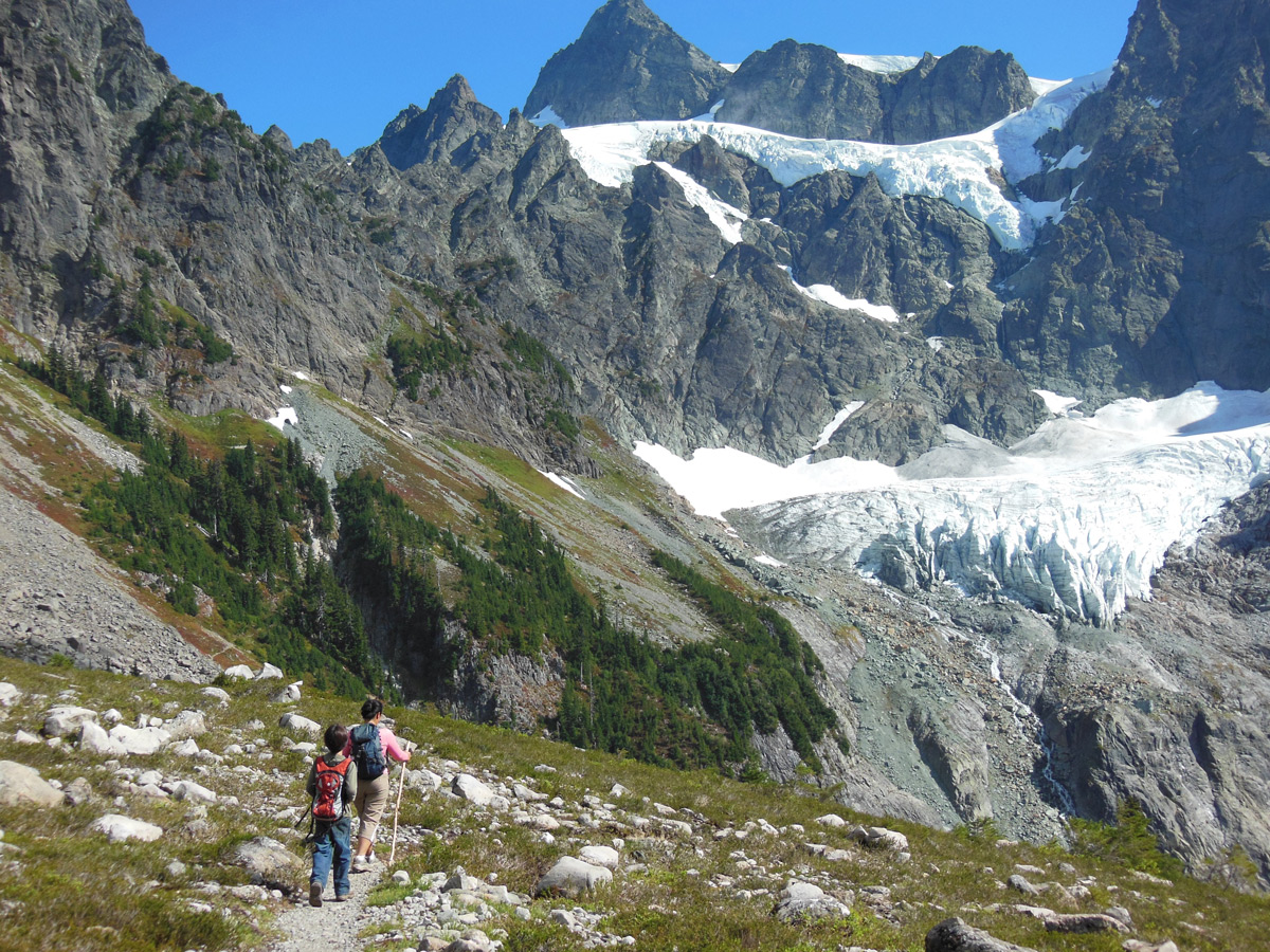
A partial list of the hiking trails with photos are listed below.
The conditions of these trails change often due to weather conditions. Current conditions may be found by contacting
the US Forest Service by Telephone at the Glacier Service Center (360-599-2714) during summer months or by visiting
the relevant US Forest Service web site:
Forest Service Trail Conditions
Additional Information and photos on Mt Baker area trails may be posted below from time to time.
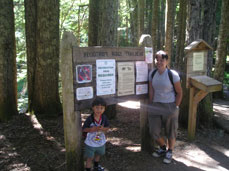
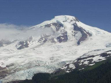
The Heliotrope Trail is accessed from the Mt Baker Highway (542) just past the town of Glacier at milepost 35, and via Forest Service Road #39. The trail begins at Elevation 3,700 feet and one can continue from there to the foot of the Roosevelt Glacier or the summit of Mt. Baker.
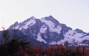
The Skyline Divide Trails is accessed from the Mt. Baker Highway at milepost 35, then to US Forest Service Road # 39 and then 37. This trails begins at elevation 4,400 feet, and rises 1,500 feet to a ridge where 360 degree vistas are spectacular. This seasonal trail is 3.5 miles in length to the divide, but you can continue exploring various ridges for many additional miles.
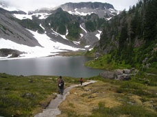
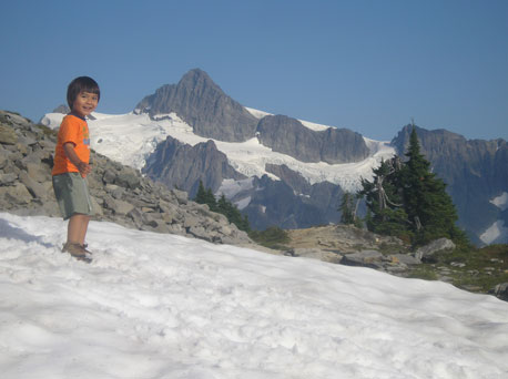
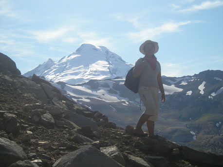
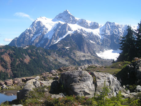


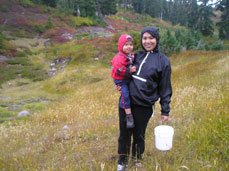

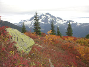
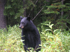
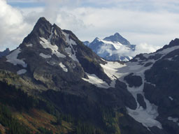
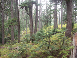
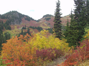
Access: Mt Baker Highway to MP 46, then US Forest Service Road #3065 Trailhead Elevation: 4,200 feet, Trail Length one way: 4 miles, Elevation Gain: 1,800 feet
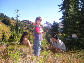
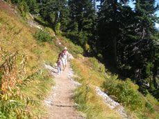
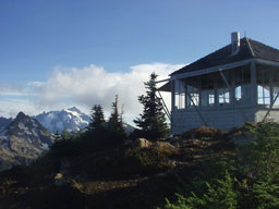
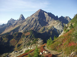
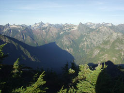
Access: Mt Baker Highway to MP 46, then US Forest Service Road #3065 to Twin Lakes.
Trailhead Elevation: 5,200 feet, Trail Length one way: 4.5 miles, Elevation Gain: 2,600 feet
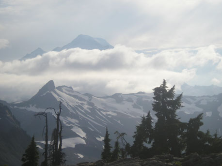
Access: Mt Baker Highway to MP 36, then US Forest Service Road #31.
Trailhead Elevation: 4,200 feet, Trail Length one way: 3 miles, Elevation Gain: 1,100 feet
Access: Mt Baker Highway to milepost 40.
Trailhead Elevation: 1,800 feet, Trail Length one way: 3+ miles, Elevation Gain: 3,700 feet.
| Home Page |
Lodging Rates and Reservations |
Lodging Reviews |
Lodging Locations |
E-mail Us |
Mt Baker Area Weather Reports |
Mt Baker Area Recreation |
Mt Baker Gallery |